

Latest Weather Blog
Friday AM Forecast: Isaias impacts expected to remain minimal for local area
Hurricane Isaias will remain well to our east, keeping major weather impacts away from our area. Expect breezy conditions and stray showers on Friday and Saturday, though totals will stay minimal. As Isaias tracks away, comfortable, dry conditions will clear the way for a fantastic weekend.
Friday & Saturday: Models show strong agreement that landfall will occur around or east of Mobile Bay. Because the storm's track is well to our east, major impacts across the region will be avoided.
Friday kicks off with plenty of sunshine with highs topping out in the upper 80s. Later in the afternoon, cloud cover will build and northeast winds will pick up, reaching 15–20 mph with gusts up to 30 mph. Most of the daylight hours will remain dry, though a spotty late-day shower can't be ruled out. The main window for light, scattered showers arrives Friday night into Saturday morning.
Beyond rain, wind-driven tides could raise water levels by 1 to 3 feet in low-lying coastal spots of Livingston and St. Mary Parishes.
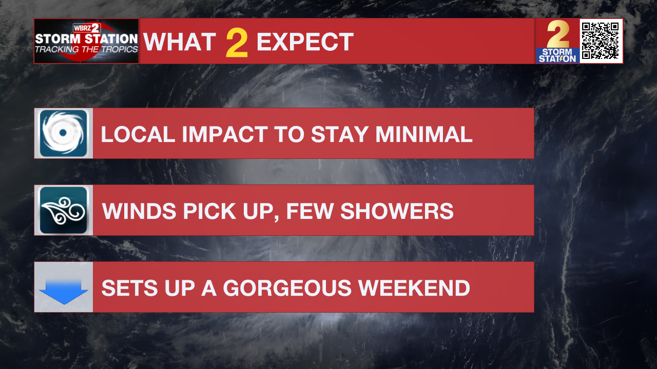
Saturday brings a clearing trend as lingering moisture departs, clearing the way for brighter skies by afternoon. A north wind on the back side of Isaias ushers in cooler air, holding daytime highs in the upper 70s to low 80s. With dew points dropping alongside the temperature, Sunday morning will feature a distinct fall-like chill, with lows dipping into the upper 50s and lower 60s.

Trending News
Up Next: Expect a swift warm-up by Sunday afternoon as high temperatures return to the upper 80s, eventually topping the 90-degree mark by Monday and Tuesday. While moisture levels will slowly rise through early next week, humidity will stay relatively tolerable. Dry conditions will dominate the extended forecast, with shower activity remaining very spotty.
Get the latest 7-day forecast and real-time weather updates HERE.
Watch live news HERE.
The Tropics: Hurricane Isaias continues to strengthen as of Friday morning, with maximum sustained winds now topping 110 mph. That puts Isaias at Category 2 strength as it continues to accelerate toward the northern Gulf Coast. Forecast guidance now strongly agrees that landfall will likely occur somewhere near or east of Mobile Bay.

While Isaias is facing moderate wind shear now, warm waters should offset any weakening effect for a little while longer. Stronger shear will eventually prompt weakening leading up to landfall. However, Isaias will remain a dangerous hurricane through landfall, with strong gusty winds, flash flooding, storm surge, and tornadoes likely in the region. Closer to home, the overall impact will be minimal.
— Balin
The Storm Station is here for you, on every platform. Your weather updates can be found on News 2, wbrz.com, and the WBRZ WX App on your Apple or Android device. Follow WBRZ Weather on Facebook and X for even more weather updates while you are on the go.
More News

