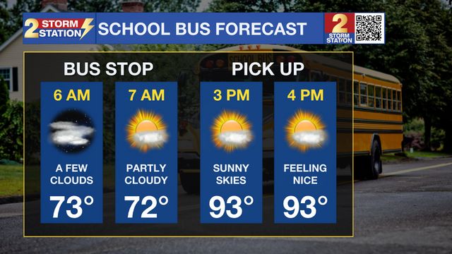
73°
Baton Rouge, Louisiana
7 Day Forecast


Latest Weather Blog


Continuous News
Grid
List
Trump says Mideast allies have reached outlines of deal to end Iran war, says US to stop new strikes
WASHINGTON (AP) — President Donald Trump in a Saturday evening social media post claimed that Mideast allies have reached the...
More >>
1 day ago
Saturday, August 01 2026
Aug 1, 2026
Saturday, August 01, 2026 10:03:00 PM CDT
August 01, 2026
in News
Radar
7 Days


News Video
-
Suspect in shooting that killed 3 at Idaho In-N-Out died from self-inflicted...
-
Israel says it has serious concerns with Hamas disarmament deal
-
Nonprofit hosts free back-to-school supply giveaway in Denham Springs
-
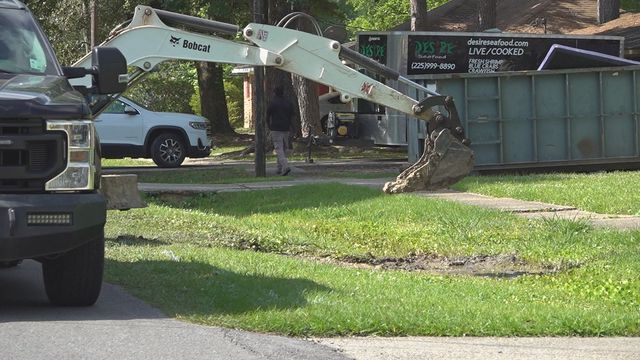
Baker residents deal with frequent water outages as city works on fixes
-
Central High students to draw cartoon-style pictures for classmates after AI yearbook...
2une In Video
-
Baton Rouge dog missing 7 years reunited with family after microchip scan...
-
Nonprofit hosting back-to-school giveaway in Livingston Parish this weekend
-
St. Helena College and Career Academy hosts back-to-school community event
-
Baker, Helix Community Schools upgrade school bus technology ahead of new school...
-
Qualifying for East Baton Rouge Parish elections is just one week away
Investigative Video
-
Baton Rouge grand jury declines to charge man arrested in 2023 hunting...
-
Baton Rouge law enforcement agencies seize over 1,000 guns halfway through 2026
-
Investigative Unit: Former Dixon inmates face charges after drugs, cell phones found...
-
Legislative audit finds W. Ascension Hospital District may have misappropriated around $300k...
-
INVESTIGATIVE UNIT: Police reports filed in dispute prior to pastor's arrest
Sports Video
-
Davon Godchaux, Saints look to contend in NFC South
-
Saints tight end Juwan Johnson building chemistry with Tyler Shough
-
Southern football using "versatile" QBs on roster in interesting ways
-
LSU signee Logan Schmidt announces college decision
-
Quarterback competition continues as Southern starts fall camp