

Latest Weather Blog
Flood Watch continues through late tonight, heavy rain possible
Moisture from a weak tropical disturbance will keep the chance for showers and thunderstorms in the forecast through Saturday. A more typical summertime pattern is expected to return by Sunday and into early next week.
A FLOOD WATCH remains in effect through Friday Night for all of South Louisiana as excessive rainfall continues to be possible. Thunderstorms are expected at times through early Friday evening, with rainfall rates in excess of 2 to 4 inches per hour possible. Many places have already received 2 to 4 inches of rain and an additional 2 to 4 inches, with locally higher amounts, is possible through this evening. Excessive runoff may result in flooding of creeks, streams, and other low-lying and flood-prone locations. Flooding may occur in poor drainage and urban areas.
A FLOOD WATCH means conditions may develop that lead to flash flooding. Flash flooding is a very dangerous situation. Be on the lookout for threatening weather conditions and listen for later statements and possible warnings. For more on flooding safety, CLICK HERE.
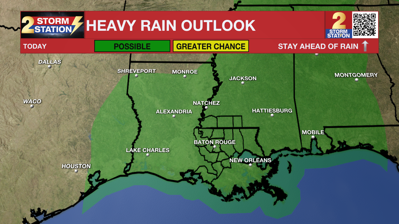
Today & Tonight: The tropical system driving increased rain and thunderstorms will slowly drift across the region to close out the workweek. Scattered to numerous showers and storms will continue to flare up around the weak surface low, generally following a summertime pattern—more active during the day, quieter at night. On Friday, rain coverage remains high at 80%, with locally heavy downpours possible—some areas could see over 2 inches. Compared to Thursday, expect a few more breaks in the rain and even some sunshine at times. Tropical moisture will keep conditions steamy, with highs in the upper 80s. Overnight, activity will taper off, with only isolated showers or storms expected. Lows will stay muggy in the mid to upper 70s.
Trending News
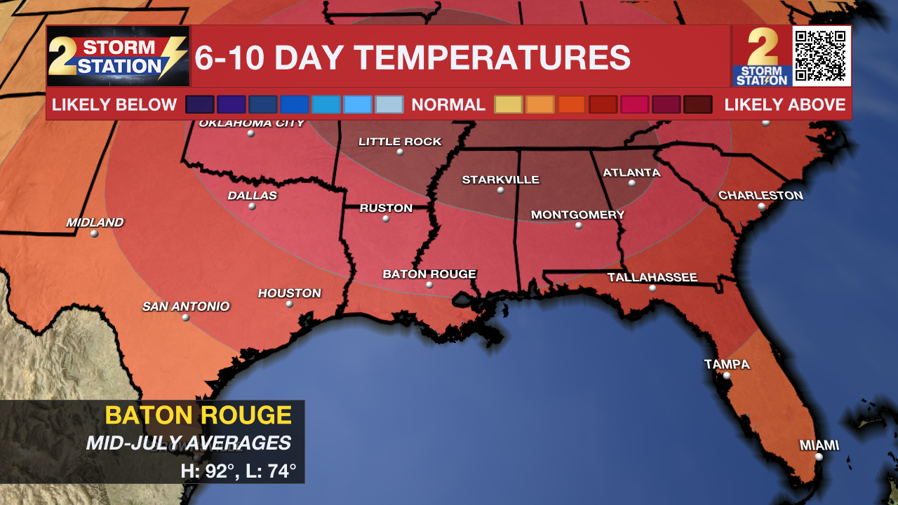
Up Next: Following a wet end to the week, conditions will begin to dry out—with rising heat taking center stage. Rain chances drop to 60% Saturday, with scattered showers and thunderstorms mainly during the day. Expect more dry intervals, with highs climbing into the upper 80s to low 90s. The drying trend continues into Sunday as more typical July weather returns: hot, humid conditions with only isolated afternoon storms.
The Tropics: For the Gulf, Caribbean, and North Atlantic, all is quiet. No additional tropical development is expected during the next 7 days.
Get the latest 7-day forecast and real-time weather updates HERE.
Watch live news HERE.
– The Storm Station
The Storm Station is here for you, on every platform. Your weather updates can be found on News 2, wbrz.com, and the WBRZ WX App on your Apple or Android device. Follow WBRZ Weather on Facebook and X for even more weather updates while you are on the go.
More News
