

Latest Weather Blog
Tuesday PM Forecast: one more day of near record warmth
Heat will be the story through tomorrow. Chances for showers and thunderstorms return by Thursday.
Next 24 Hours: The atmosphere dried slightly on Tuesday and the resulting lower dew points may help low temperatures crack the upper 60s into tomorrow morning. Expect mainly clear skies and light winds. Wednesday is likely to be the last day this week with a chance to tie or break a record high. Mostly sunny skies will push afternoon readings into the low 90s. The Metro Airport mark to beat is 93 degrees from 2002.
Up Next: The upper levels of the atmosphere will cool slightly on Thursday and Friday. Not only will this help to bring down high temperatures but also provide enough instability for some showers and thunderstorms to develop around the peak afternoon heating hours. On Saturday, an additional upper level disturbance may cause showers and thunderstorms to be more numerous. Finally, on Sunday, a cold front will approach from the northwest. This feature will maintain the potential for afternoon precipitation. There are some signs the front could sneak through and lower humidity a bit by early next week, but temperatures will remain at or above average. CLICK HERE for your detailed 7-Day Forecast.
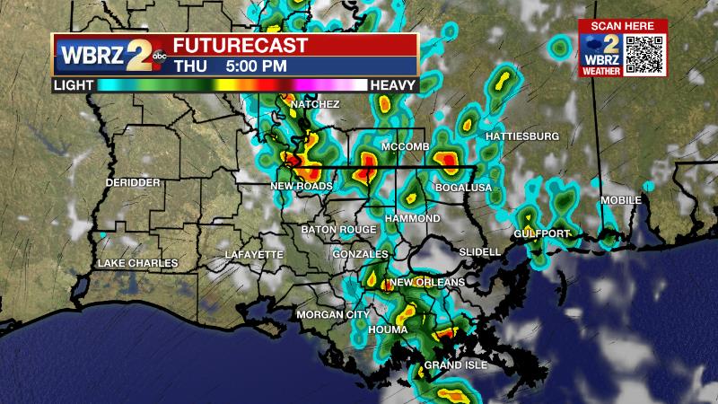
The Explanation: An upper level ridge of high pressure will remain the main weather driver through the middle of this week. This feature will cause sinking air, which not only really squashes the vertical motions needed for convection (showers and thunderstorms) but also is a warming process helping to contribute to near record highs. By Thursday, an upper level low pressure system will move westward from the Atlantic Ocean into the Southeast U.S. At the same time, another upper level trough will move across the Plains and Great Lakes regions. These system will weaken the subsidence caused by the ridge and allow more instability aloft needed to generate afternoon convection (showers and thunderstorms). Isolated activity could develop on Thursday and Friday. However, an upper level disturbance spinning through the upper low will really increase coverage in showers and thunderstorms on Saturday. A weak cold front could bring another uptick in coverage on Sunday afternoon. These thunderstorms should be of the typical warm season variety—capable of downpours and frequent lightning. The northern trough may help push a weak cold front through the area, therefore decreasing overall moisture and humidity into early next week. At the same time, an upper level ridge will try to reestablish over the region. The consequence of these changes will be warm temperatures with perhaps a slight reduction in dew points or humidity.
Trending News
--Josh
The Storm Station is here for you, on every platform. Your weather updates can be found on News 2, wbrz.com, and the WBRZ WX App on your Apple or Android device. Follow WBRZ Weather on Facebook and Twitter for even more weather updates while you are on the go.
More News
