

Latest Weather Blog
Thursday PM Forecast: another round of steady rain ahead of the weekend
The FLOOD WATCH has been canceled, but one more round of organized rain stands between us and the weekend. Even after that, showers do not totally exit the forecast until next week.
Here is a breakdown of what to expect:
- Friday: widespread rain and thunderstorms, briefly heavy
- Mother’s Day Weekend: times of clouds, isolated showers, not too warm
- Monday: lingering showers
- Tuesday & Beyond: trending drier and much warmer
Trending News
Tonight & Tomorrow: An approaching upper-level weather system will return moisture, clouds, and even showers later into the night. Low temperatures will bottom in the mid 60s. Some showers and thunderstorms will be around for the morning drive, and rain coverage will crank up through midday. Rain could be heavy at times, but with a day to dry out, we’re not expecting anything more than spotty poor drainage flooding. Showers may be stubborn well into the evening, so keep the umbrella and Storm Station Weather App handy if you have outdoor plans after work and school. High temperatures will stall in the mid 70s.
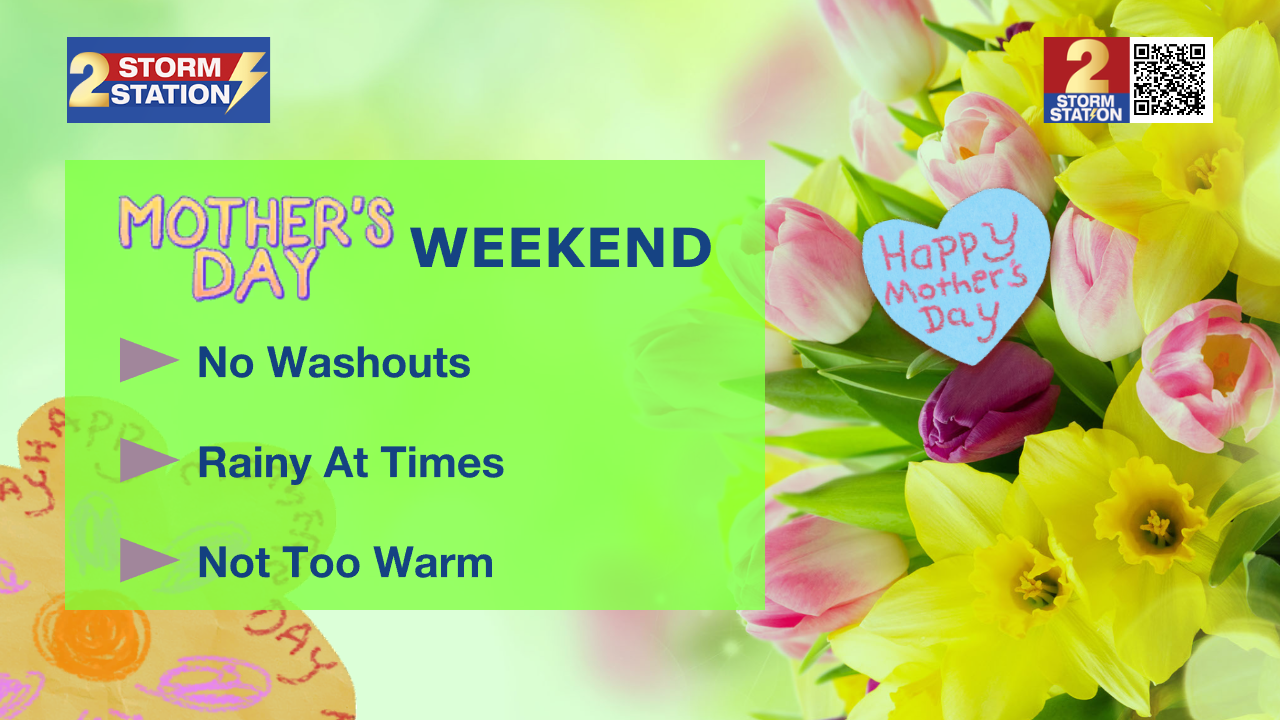
Up Next: Scattered showers and thunderstorms are likely both Saturday and Mother’s Day, with each seeing about a 40% coverage in rain. Neither day will be a washout, but you may need to dodge a few showers, particularly in the afternoon. So while it may not be ideal for extended outdoor plans, some dry windows are expected — just have a backup plan ready if Mother Nature decides to join the party. Highs will hover in the upper 70s with overnight lows in the low 60s.
Monday will be a transitional type of weather day with lingering clouds and showers as the upper-level weather system departs. By Tuesday and Wednesday, we finally see a return to sunnier skies and warmer temperatures, with highs climbing back into the mid to upper 80s.
River Flooding: The National Weather Service has issued a RIVER FLOOD WARNING for the Mississippi River at Red River Landing, Baton Rouge, and Donaldsonville, the Atchafalaya River at Morgan City, and the Tangipahoa River at Robert. For the latest levels and forecasts, CLICK HERE.
Get the latest 7-day forecast and real-time weather updates HERE.
Watch live news HERE.
– Josh
The Storm Station is here for you, on every platform. Your weather updates can be found on News 2, wbrz.com, and the WBRZ WX App on your Apple or Android device. Follow WBRZ Weather on Facebook and X for even more weather updates while you are on the go.
More News
