

Latest Weather Blog
Monday AM Forecast: Heat continues, Mid-week front brings dip in humidity
Hot, humid, and dry conditions continue to start the workweek. A midweek cold front will bring temporary relief from humidity with only a few spotty showers.
Today & Tonight: Monday will be very warm with afternoon temperatures climbing into the low-90s, with humidity making conditions feel closer to 100 degrees at times. Skies will see a mix of sun and clouds with winds out of the south between 5-15 mph. Overnight, increasing clouds will again limit morning lows to the middle-70s.
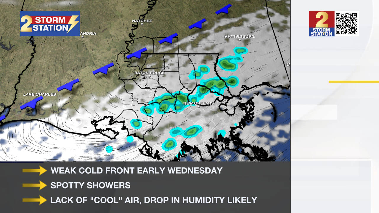
Up Next: Tuesday will be another warm, sunny, and dry day, with afternoon highs once again reaching the 90s. A weak cold front is expected to approach from the northwest by late Tuesday night and move through the Capital Area by Wednesday morning. However, its impact will be minimal. Highs will remain near 90 degrees through the end of the week, though a brief drop in humidity will be noticeable on Wednesday and Thursday.
Rain chances with this front are low—showers will be spotty, with the best chance for any rain likely south of the interstate early Wednesday.
As we head into Memorial Day Weekend, temperatures will return to the low 90s, accompanied by plenty of sunshine and only a slight chance of rain at this time. Check back in throughout the workweek for more details on the upcoming weekend's forecast.
Trending News
Get the latest 7-day forecast and real-time weather updates HERE.
Watch live news HERE.
– Emma Kate C.
The Storm Station is here for you, on every platform. Your weather updates can be found on News 2, wbrz.com, and the WBRZ WX App on your Apple or Android device. Follow WBRZ Weather on Facebook and X for even more weather updates while you are on the go.
More News
