

Latest Weather Blog
Tuesday AM Forecast: Humidity staying manageable, moisture increase late week
Drier air will stay in place for most of the week, keeping humidity manageable, and rain chances low. Available moisture will increase late week into the weekend, causing a more uncomfortable feel, and a few more storms.
Today & Tonight: Tuesday looks for the most part dry, with warm temperatures near 90 degrees. The dry air will keep any shower spotty in nature, and humidity low. Any outdoor plans or activities will be good to go! Overnight, skies will be mostly clear with lows in the upper 60s.
Up Next: Lower moisture values will stay in place for most of the week. As a result, humidity will stay in check, and rain chances will be minimal. Afternoons will stay toasty, with highs in the lower 90s and low rain chances. By late week, humidity will start drifting back northward, though how much you feel will depend on location. North of I-10/12, the air should stay relatively comfortable, while spots south will deal with some steamy conditions. Temperatures will gradually tick upward, reaching the mid-90s by Friday. Overall, this setup isn’t out of the ordinary for early September, and it looks to stick around into the first part of the weekend. For now, weather doesn’t appear to pose any major problems for Saturday’s home openers on the Bluff and at Tiger Stadium.
Looking a little farther ahead, there are early hints that another push of dry air could slip in during the latter half of the weekend. That’s not a guarantee, but if it does happen, conditions would likely feel similar to what we have right now.
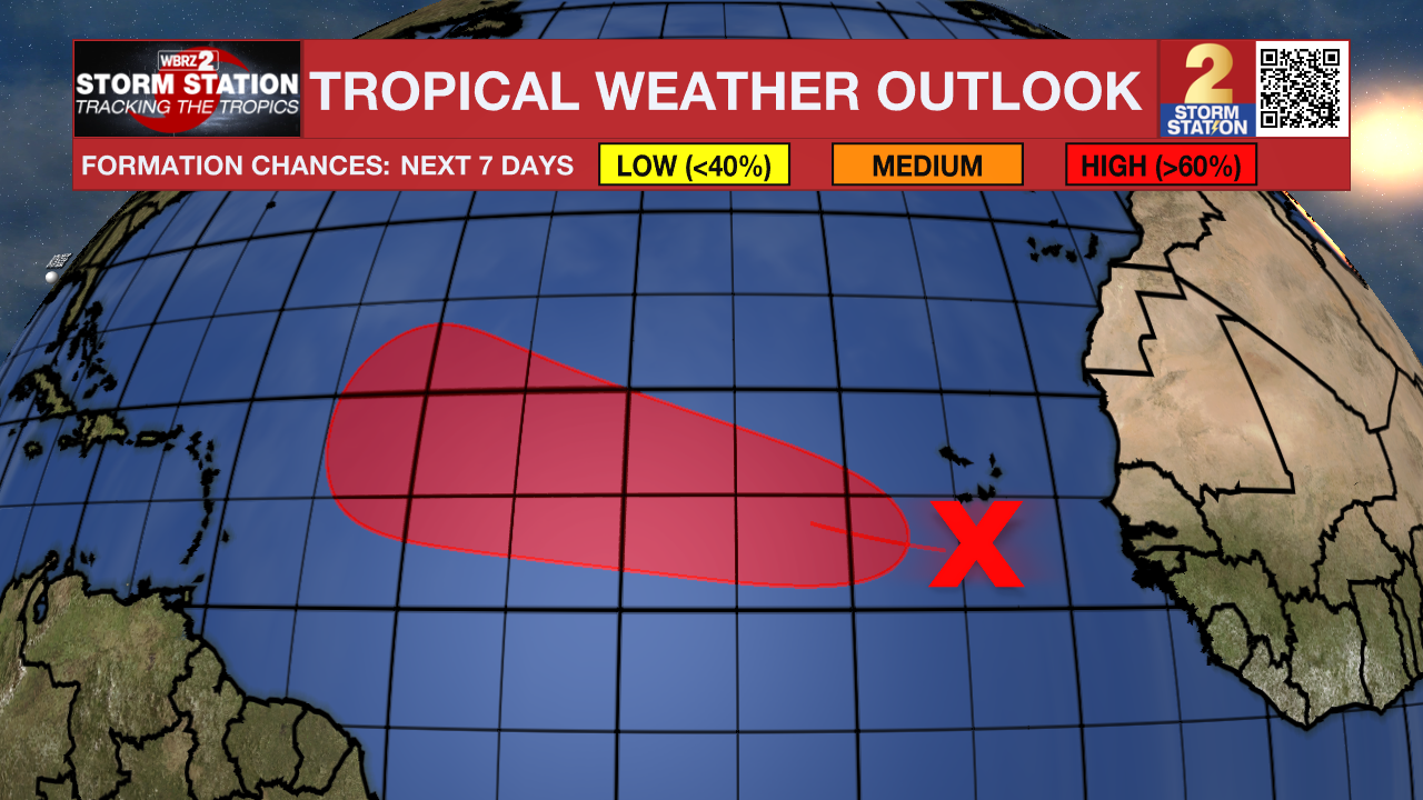
The Tropics: A tropical wave located over the far eastern tropical Atlantic south of the Cabo Verde islands is producing disorganized showers and thunderstorms. Environmental conditions appear conducive for gradual development of this system, and a tropical depression could form by the middle or latter part of this week. This system is expected to move westward to west-northwestward at around 15 mph across the eastern and central tropical Atlantic throughout the week. The next name up is Gabrielle.
Trending News
Get the latest 7-day forecast and real-time weather updates HERE.
Watch live news HERE.
— Balin
The Storm Station is here for you, on every platform. Your weather updates can be found on News 2, wbrz.com, and the WBRZ WX App on your Apple or Android device. Follow WBRZ Weather on Facebook and X for even more weather updates while you are on the go.
More News
