

Latest Weather Blog
Thursday PM Forecast: Prepare for heavier, more widespread storms arriving soon
The familiar routine of sticky heat and scattered afternoon storms will stay through Saturday. However, rain will become much more widespread and heavier starting Sunday, leading to a bump in potential impacts.
Tonight, Tomorrow, & Saturday: Skies will quickly clear throughout the evening as afternoon storms die down. Friday morning will start mostly sunny and muggy in the mid-70s, but temperatures will surge back to near 93° by afternoon. The summer heat will spark yet another round of scattered thunderstorms during the afternoon. Like recent days, all storms will be capable of heavy rain, a barrage of lightning, and brief spurts of wind before collapsing in the evening. Saturday’s forecast looks almost identical, so have a lightning shelter in mind if planning to get outdoors.

Use the slider to advance through the next 24 hours of Futurecast
Up Next: A surge in moisture heading into the second half of the weekend will trigger an increase in storm activity. Storms may get off to an earlier start on Sunday, with most areas catching at least one heavy downpour before the day is out. Activity will become even more widespread on Monday, bringing the threat of storms morning, afternoon, and night. This active pattern will persist into Tuesday with numerous thunderstorms likely, before rain chances ease around midweek.
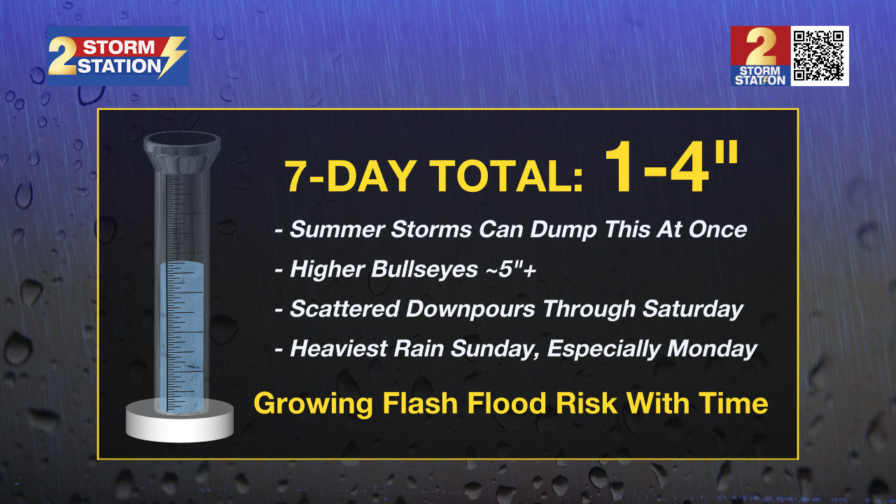
While both weekend days will bring storms, Sunday looks much busier. Be ready to move indoors over the weekend if thunder is within earshot. The wet pattern may lead to messy commutes next week as well, so plan for possible delays. 1-4” seems to be a good baseline for rain over the next week, but because summer downpours can dump that amount at once, there may be localized bullseyes totaling 5”+. Typical for this time of year, any storm can quickly trigger street and poor-drainage flooding. However, because rainfall rates will ramp up on Sunday and Monday, the flash flood risk will be elevated on those days.

Trending News
Get the latest 7-day forecast and real-time weather updates HERE.
Watch live news HERE.
The Tropics: For the Gulf, Caribbean, and Atlantic, all is quiet. No tropical development is expected over the next seven days.
— Meteorologist Malcolm Byron
The Storm Station is here for you, on every platform. Your weather updates can be found on News 2, wbrz.com, and the WBRZ WX App on your Apple or Android device. Follow WBRZ Weather on Facebook and X for even more weather updates while you are on the go.
More News

