NEW: 6 tornadoes confirmed in local area after severe weather on Saturday
The National Weather Service (NWS) has concluded their damage surveys in the Capital Area from Saturday night's severe weather episode. Six tornadoes have been confirmed in southwest Mississippi, across Amite and Wilkinson Counties. It should be noted that some of the tracks in Wilkinson County might be longer in reality, but survey efforts were limited by dense forest and a lack of accessible roads.
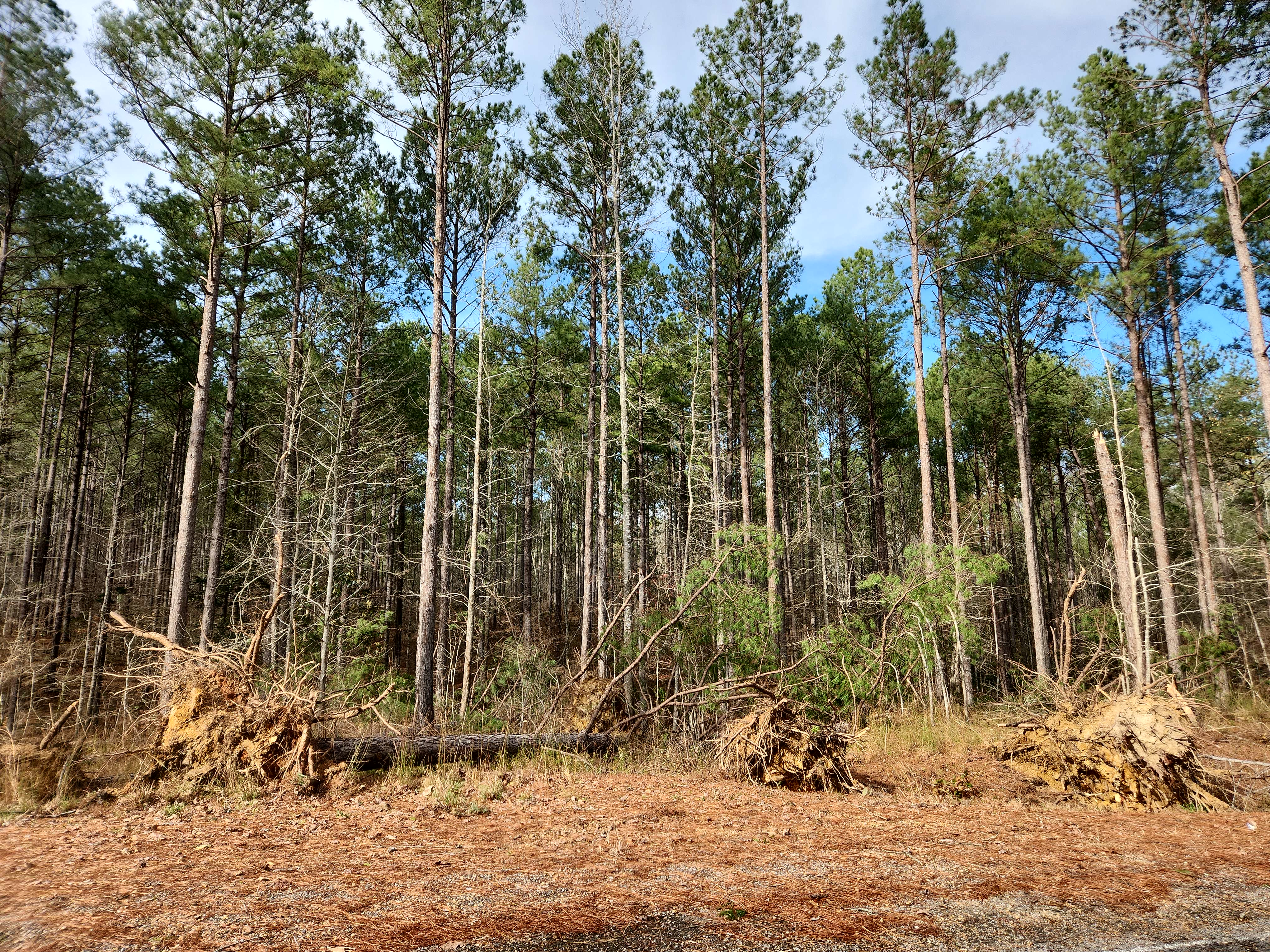
 Tornado damage NE of Gloster, MS (tornado occurred on December 28, 2024)
Tornado #1 - NE of Gloster, MS: An EF-1 tornado with peak winds at 90 mph happened around 2:46pm. The twister tracked for 0.36 miles and was on the ground for one minute, snapping several pine trees along New Hope Road. Per the storm survey, the track likely extends to both the southwest and northeast more than what is indicated but the survey team was unable to access these areas.
Tornado #2 - WNW of Woodville, MS: An EF-0 tornado with peak winds of 75mph was on the ground for about a quarter of a mile around 5:45pm. It snapped branches on several pine trees as it crossed Highway 24. Again, the track of this tornado may extend farther in both directions, but lack of accessible roads limited the ground survey.
Trending News
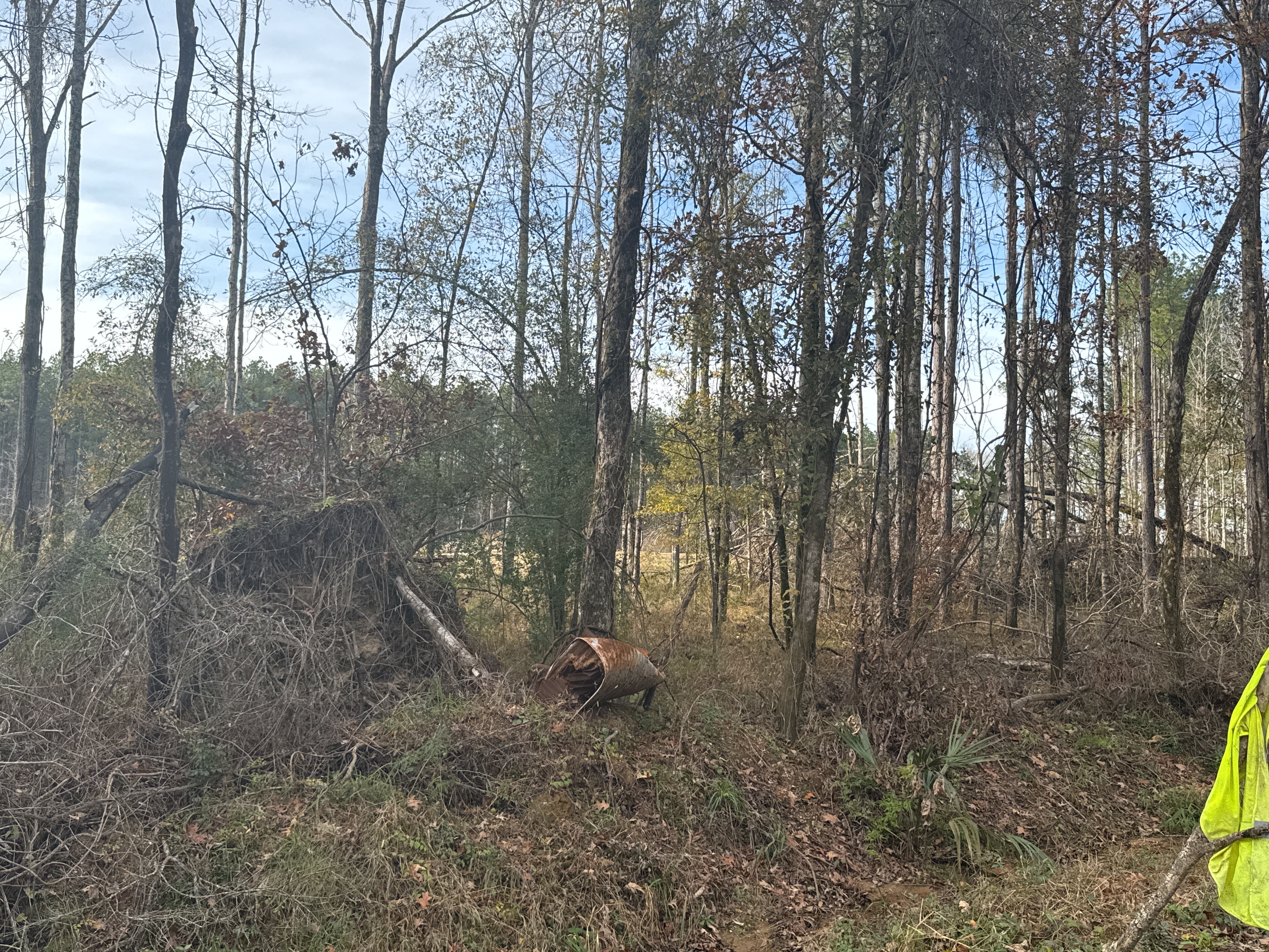
 Tornado damage S of Doloros, MS (tornado occurred on December 28, 2024)
Tornado #3 - S of Dolorosa, MS: An EF-0 tornado with top winds around 85mph occurred around 5:48pm. This one was on the ground for less than a tenth of a mile but snapped branches and downed a tree along Leaver-Woodville Road. This is another survey that was limited by access.
Tornado #4 - Woodville, MS: An EF-1 tornado with maximum winds of 90mph happened around 5:55pm. This tornado snapped pine trees as it crossed Highway 61 northeast of Woodville. It was on the ground for at least a quarter of a mile which was as far as ground access would allow.
Tornado #5 - NW of Centreville, MS: An EF-0 tornado with peak winds of 80mph was on the ground for over 2 miles around 6:00pm. This one caused intermittent damage to branches and tree tops as it moved almost due eastward from Walter Anderson Road just south of Leake Road to Macedonia Road.
Tornado #6 - N of Gillsberg, MS: An EF-1 tornado with maximum winds of 90mph was on the ground for 0.28 miles around 6:41pm. The tornado snapped a few trees as it crossed Highway 584 north of Gillsberg. The track may extend farther west and east, but a lack of accessible roads limited the ground survey.
Straight Line Wind Damage - Pointe Coupee Parish: A survey conducted in rural Pointe Coupee Parish found a broad area of snapped branches with no clear evidence of a tornado within the damage field. The survey team estimated the winds through this area were around 60 mph.
NWS crews also rated an EF-1 tornado with maximum sustained winds of 90mph near Lacombe. That twister was on the ground for more than one mile.
The Storm Station is here for you, on every platform. Your weather updates can be found on News 2, wbrz.com, and the WBRZ WX App on your Apple or Android device. Follow WBRZ Weather on Facebook and Twitter for even more weather updates while you are on the go.


