79°
Baton Rouge, Louisiana
7 Day Forecast


Latest Weather Blog


Continuous News
Grid
List
Radar
7 Days


News Video
-
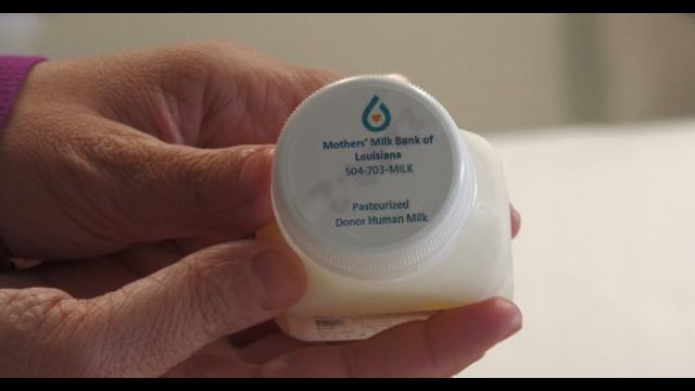
Moms can donate life-saving breast milk at Ochsner Baton Rouge for the...
-
I-55 southbound closed at Independence after law enforcement chase ends with crash,...
-
Back-2-School: Students in St. Helena Parish return to the classroom for 2026-27...
-
Anti-Defamation League South Central using 'No Place for Hate' campaign to address...
-
Attorney General Liz Murrill announces that Louisiana will join Alabama and Florida...
2une In Video
-
Moms can donate life-saving breast milk at Ochsner Baton Rouge for the...
-
I-55 southbound closed at Independence after law enforcement chase ends with crash,...
-
Back-2-School: Students in St. Helena Parish return to the classroom for 2026-27...
-
Anti-Defamation League South Central using 'No Place for Hate' campaign to address...
-
Baton Rouge dog missing 7 years reunited with family after microchip scan...
Investigative Video
-
Baton Rouge grand jury declines to charge man arrested in 2023 hunting...
-
Baton Rouge law enforcement agencies seize over 1,000 guns halfway through 2026
-
Investigative Unit: Former Dixon inmates face charges after drugs, cell phones found...
-
Legislative audit finds W. Ascension Hospital District may have misappropriated around $300k...
-
INVESTIGATIVE UNIT: Police reports filed in dispute prior to pastor's arrest
Sports Video
-
Davon Godchaux, Saints look to contend in NFC South
-
Saints tight end Juwan Johnson building chemistry with Tyler Shough
-
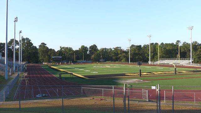
Southern football using "versatile" QBs on roster in interesting ways
-
LSU signee Logan Schmidt announces college decision
-
Quarterback competition continues as Southern starts fall camp