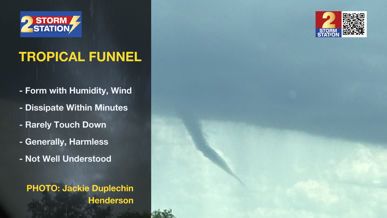
Unusual tropical funnel makes appearance over Atchafalaya Basin
What is known as a tropical funnel was caught on camera by a Storm Station viewer in Henderson on Friday afternoon. This feature was associated with a thunderstorm that moved over the Atchafalaya Basin.
These tropical funnels are different from the dangerous funnel clouds that come from big, powerful supercell thunderstorms that produce tornadoes. They form when there is a lot of humidity and wind in the atmosphere, giving a spinning motion to condensing air.
Meteorologists understand the basic idea behind how they form. It is like an ice skater pulling in their arms to spin faster. When the air starts to spin and gets stretched vertically, it speeds up, creating that funnel shape. However, these tropical funnels are really quick to form and then disappear, usually in just a few minutes, which makes them tricky to study in detail.
Remember, it is only a tornado if that spinning cloud actually touches the ground! If it's just hanging in the air, it is a funnel. Tropical funnels rarely reach the ground. So, while they can look a bit scary, they are generally much less dangerous than tornadoes.

Trending News
Thanks to Jackie Duplechin for sending in this picture via the Storm Station Weather App. Any time you see weather happening, email a picture to weather@wbrz.com, post on X @WBRZweather. Or, of course, you can also submit directly to us through the free app on your Apple or Android device.


