

Latest Weather Blog
Tuesday AM Forecast: Keeping the heat and steam with a side of afternoon downpours
Get ready for another warm and steamy day with numerous showers and thunderstorms. While a weak cold front could bring a brief change of pace around midweek, it won’t take long for the classic summer pattern to return.
Today & Tonight: After a handful of pre-dawn showers, the morning will be relatively drier for the most part under a mixture of sun and clouds. It’s going to feel quite steamy as the day progresses. As highs reach the low 90s during the afternoon, humidity will place feels-like temperatures in the 100-105° range at peak heating. All that afternoon heat and steam will likely spark another round of numerous showers and storms. Watch out for lightning, gusty winds, and heavy downpours during the lunch commute and evening rush hour. Though such storms tend to make things even more humid, they will at least offer a temporary cooldown. Lingering evening thunderstorms will gradually fade after sunset, leaving a partly cloudy sky into Wednesday morning with lows in the lower 70s.

Use the slider to advance through the next 24 hours of Futurecast
Up Next: A weak “cold” front will approach the area on Wednesday, but the latest data indicate a slower arrival. This would allow for lingering humidity and a healthy scattering of storms during the afternoon. The front should push further south by Thursday, concentrating isolated storms primarily south of the I-10 corridor. Meanwhile, areas to the north and east may enjoy a subtle drop in humidity. Toward the weekend, any frontal influence will become a distant memory as the classic summer combination of heat, humidity, and pop-up storms resumes.


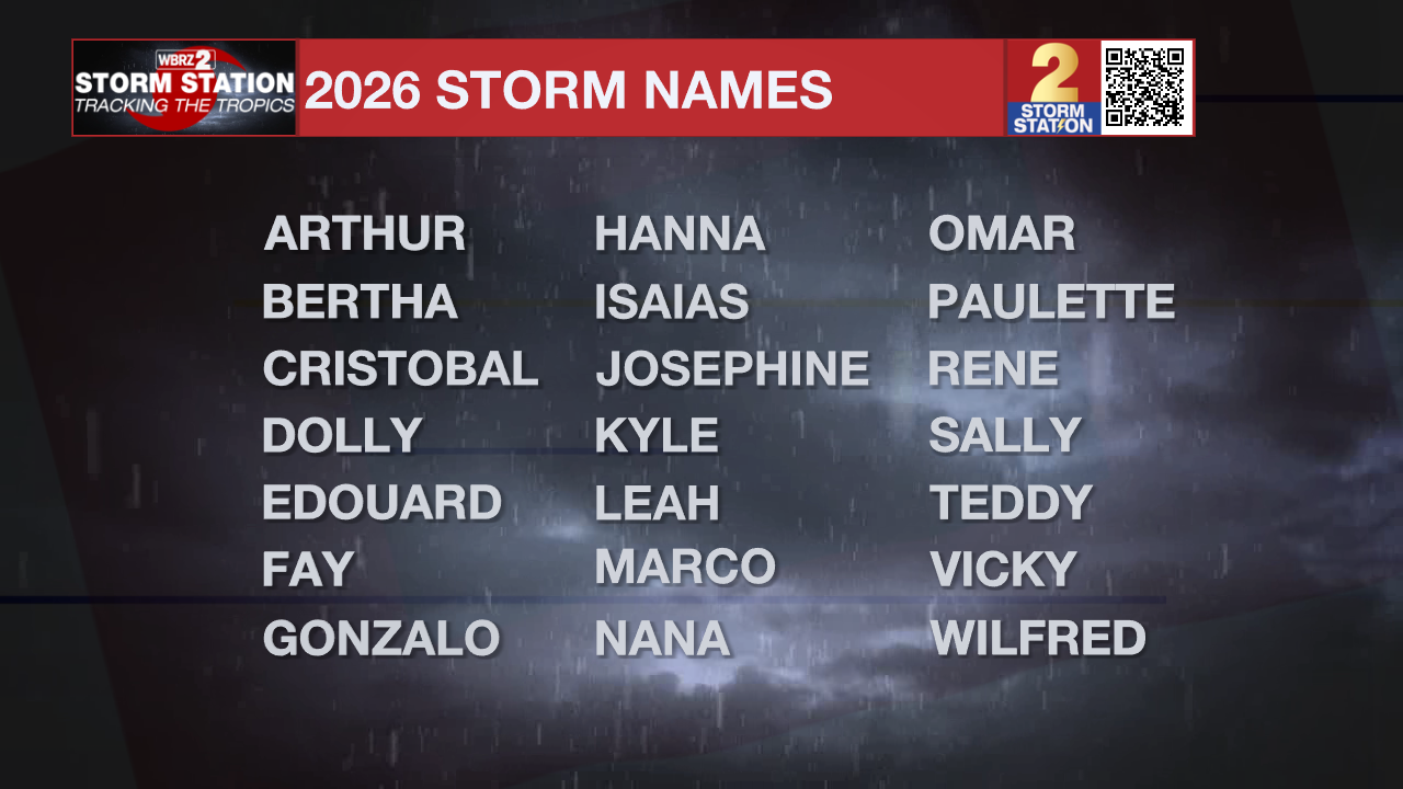
The Tropics: As it is now officially hurricane season, the Storm Station will have constant updates at the Hurricane Center and on the twice-daily blogs, just like this one. Pre-season forecasts have called for a near-normal to slightly below-average season; however, it only takes one storm to change lives. Now is the best time to prepare for the next storm. Fortunately for now, no tropical development is expected across the Atlantic Basin over the next seven days.
Trending News
Get the latest 7-day forecast and real-time weather updates HERE.
Watch live news HERE.
— Meteorologist Malcolm Byron
The Storm Station is here for you, on every platform. Your weather updates can be found on News 2, wbrz.com, and the WBRZ WX App on your Apple or Android device. Follow WBRZ Weather on Facebook and X for even more weather updates while you are on the go.
More News
