

Latest Weather Blog
Thursday PM Forecast: overnight storm system in middle of busy Mardi Gras Weekend
While the rest of our workweek looks warm and dry, the Storm Station is tracking a system that will impact part of Mardi Gras Weekend. In addition to the chance for rain and thunderstorms, it will be windy at times.
Tonight & Tomorrow: Clouds will stay in the mix early this evening before some gradual clearing late. However, patchy fog is expected to develop from the coast inland toward the I-10/12 corridor close to dawn as lows stop in the upper 50s. Friday will be mild with highs surging back to the upper 70s, possibly even low 80s if enough sun pokes through. However, clouds should tend to increase as the day progresses. Regardless, expect cooperative weather for the opening pitch of the LSU Baseball season and the Krewe of Southdowns parade.

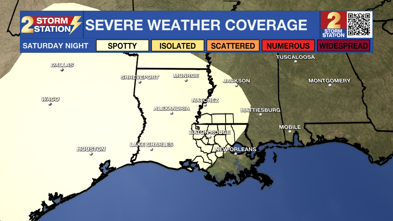
Saturday: The beginning of the weekend is a big one for the Red Stick. Between Valentine’s Day dates, LSU Baseball’s opening weekend against Milwaukee, and the Spanish Town Mardi Gras Parade, there is a lot happening outdoors. Not to be outdone, the weather will have a lot happening too, as a strong storm system is expected to move into the region during the evening and overnight hours. The biggest concern for the Capital Area will be damaging wind gusts and frequent lightning. While the risk is lower, we also cannot rule out a brief, "spin-up" tornado within the line of storms. Make sure floats and throws are secured and stored before bed Saturday night.
Trending News
The Spanish Town Parade: For the parade-goers in downtown, the midday hours look relatively quiet with mostly cloudy skies and a few breaks of sun. Passing showers will be possible, but there will not be any dangerous weather for those on the route. Warmth will continue with temperatures in the upper 70s. The breeze may kick up to 10-15mph at times.
LSU Baseball: Expect a muggy afternoon at Alex Box Stadium. During the game, afternoon high temperatures in the upper 70s will be met. Some sun may sneak through mostly cloudy skies, and a passing shower is possible, but there should be enough time to complete the game before heavy action arrives later in the evening.
Date Night: The highest impact weather will occur during the evening and overnight hours—perhaps as many are out enjoying Valentine’s Day. A line of rain and thunderstorms is expected between 10pm and 6am. Be weather aware and take it easy if caught in heavy rain on the roads. Have a way to receive alerts while out and about or asleep, as a spotty gusty thunderstorm will be possible.
Sunday & Beyond: The timing of the frontal system has slowed down a bit, so while the worst of the rain will be clearing by midday Sunday, there may be lingering clouds and even spotty showers into the afternoon. Again, all outdoor events should be fine with plenty of dry time, just don’t be caught off guard by some rain drops. Sunday will also be quite breezy with north winds of 10-20mph, which could make it a little more difficult to grab those throws! Highs will reach into the low 70s.
Expect a quiet stretch of weather for the start of next week. Lundi Gras, Mardi Gras, and Ash Wednesday are currently shaping up to be sunny and mild with highs in the mid to upper 70s.
Get the latest 7-day forecast and real-time weather updates HERE.
Watch live news HERE.
– Josh
The Storm Station is here for you, on every platform. Your weather updates can be found on News 2, wbrz.com, and the WBRZ WX App on your Apple or Android device. Follow WBRZ Weather on Facebook and X for even more weather updates while you are on the go.
More News
