

Latest Weather Blog
Thursday PM Forecast: next cold front to deliver coldest temperatures so far this season
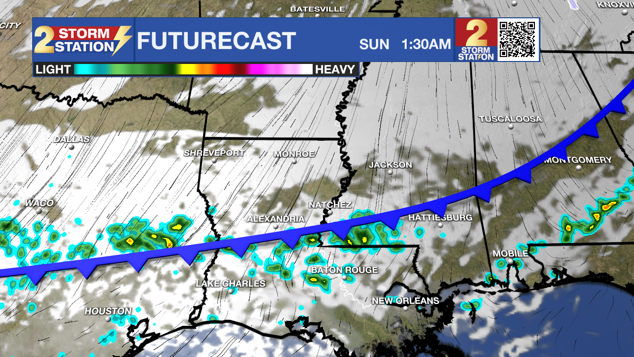
After a stint of crisp air, a gradual warming trend will carry through Saturday. A strong cold front will then blast through Sunday morning, delivering the coldest temperatures so far this winter season.
Friday & Saturday: lots of clouds, mild
Sunday: breezy and much cooler
Monday: coldest morning so far this winter
Middle of Next Week: mild, returning showers
Tonight & Tomorrow: Skies are expected to stay mainly clear tonight with another chilly one ahead. Lows will bottom in the low to mid 40s. Change will be noticeable on Friday. Onshore flow from the Gulf will result in added moisture, which in turn will allow clouds to develop and possibly even squeeze out a few light showers or sprinkles. Any rain would be spotty and brief. Highs will scale up into the low 70s.
Trending News

Up Next: The two weekend days will be jarringly different. Saturday is the pick for outdoor plans with highs about 10 degrees above average in the low 70s. There is a slight, 10% chance of a shower, but most of us will stay dry. A very potent cold front is slated to sweep through on Sunday morning. This strong front will bring isolated showers before dawn. The real impact will be the temperature drop as highs remain in the 50s into the afternoon, whereas overnight lows will plummet into the middle and upper 20s. A few might be looking at a brief hard freeze, so stay in touch with the forecast through the weekend or even consider wrapping any pipes as a precaution. Know that north winds should be strong enough to create a wind chill, or feels-like temperature, that is colder to people than what thermometers show.
Next week will start off with the chill as we get a day with highs near 50°. In fact, on Monday, many spots could stay in the 40s despite sunshine. Another night of lows near freezing will carry into Tuesday. Temperatures will gradually warm into the 70s by the middle of the week when the next storm system arrives with a better chance for showers.
Get the latest 7-day forecast and real-time weather updates HERE.
Watch live news HERE.
– Josh
The Storm Station is here for you, on every platform. Your weather updates can be found on News 2, wbrz.com, and the WBRZ WX App on your Apple or Android device. Follow WBRZ Weather on Facebook and X for even more weather updates while you are on the go.
More News
