

Latest Weather Blog
Saturday AM Forecast: Bitter cold and hard freezes ahead
The Arctic outbreak has surged south, and temperatures have already crashed. Nighttime lows will remain below freezing for an extended period of time moving forward. While no precipitation impacts are expected, the cold itself should not be taken lightly. Take Saturday, for instance, when temperatures will only rise above freezing for a few hours during the afternoon.
An EXTREME COLD WARNING will be in effect through Sunday morning for all of southeast Louisiana and southwest Mississippi. Dangerously cold wind chills in the 20s on Saturday will fall into the teens after dark. Hypothermia can occur if unprotected skin is exposed to these temperatures. An extended period of freezing temperatures could cause ruptured water pipes.
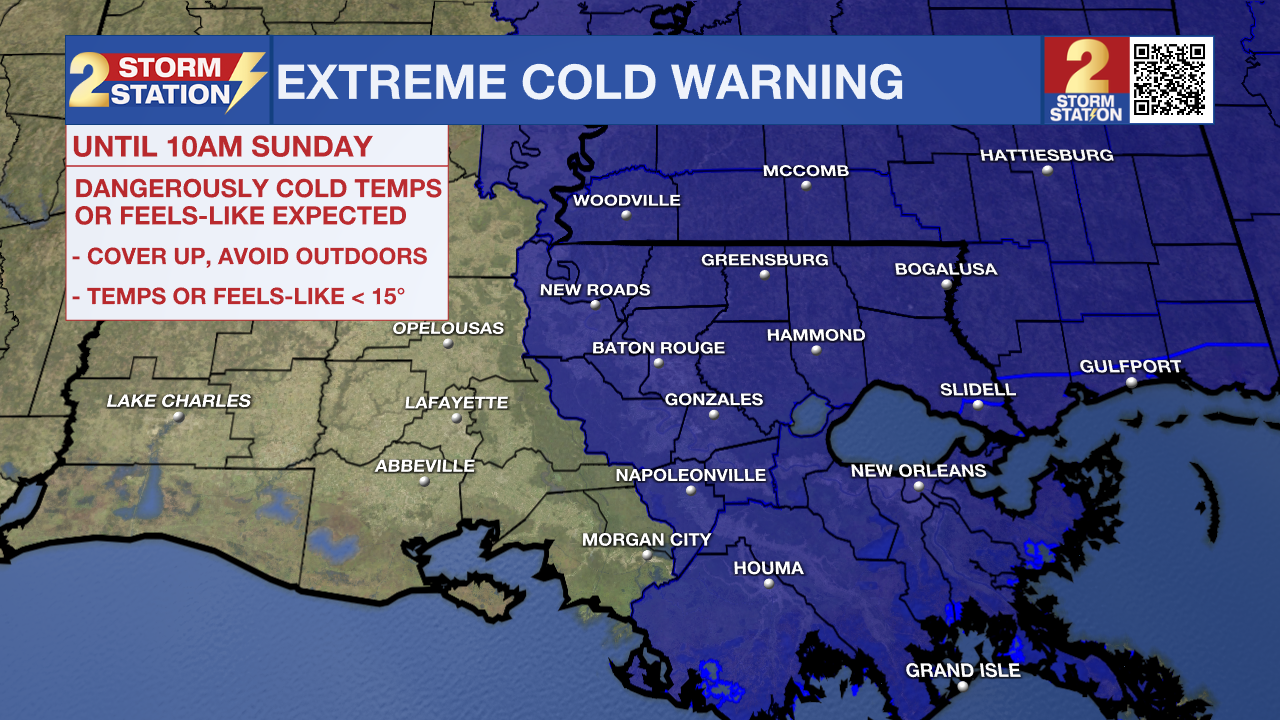
Dress in layers, including a hat, face mask, and gloves if you must go outside. To prevent water pipes from freezing, wrap or drain them or allow them to drip slowly. Keep pets indoors as much as possible. Make sure outdoor animals have a warm, dry shelter, food, and unfrozen water. Make frequent checks on older family, friends, and neighbors. Ensure portable heaters are used correctly. Do not use generators or grills inside. If you do not have heat in your home or lack shelter, you can call 211 for assistance locating appropriate shelter from the cold. Use caution while traveling outside. Wear appropriate clothing, a hat, and gloves.
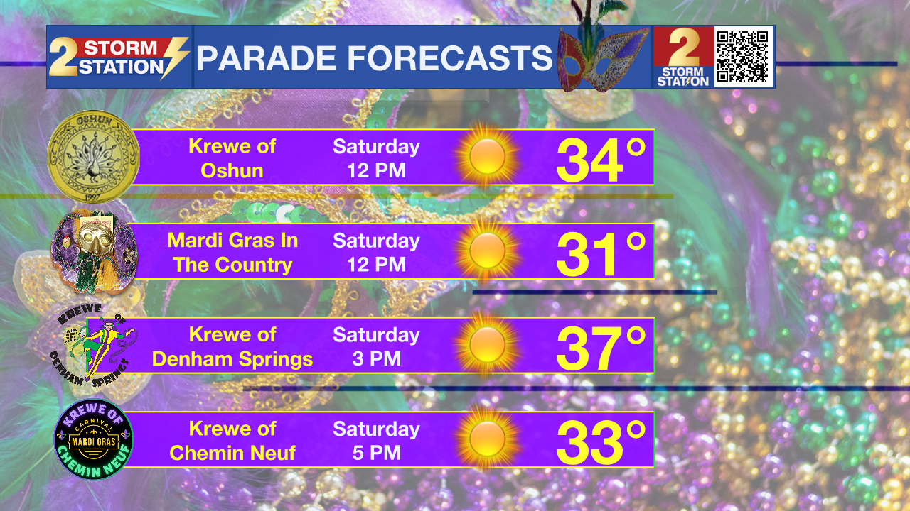
Today & Tonight: Despite a mostly sunny sky, temperatures won't stay above freezing for long on Saturday. Look for a high in the mid-to-upper 30s around mid-afternoon. Meanwhile, a north wind at 10-20 mph and gusts to 30 mph will keep wind chills in the 20s. With several Mardi Gras parades in the Capital Area, anyone heading out should bundle up with multiple layers, a hat, and gloves — and a warm drink won’t hurt.
After dark, temperatures will quickly fall to the freezing mark, with subfreezing conditions lasting around 15 hours. Lows drop into the upper teens across the Capital Area, easily qualifying as a hard freeze. Take action to protect pipes, as mentioned above. Remember, air temperature is what matters for pipes, while wind chill affects how cold it feels for people and pets. Fortunately, wind chills will be closer to the actual air temperature early Sunday as winds begin to settle. Even so, any lingering breeze will make it feel a few degrees colder from time to time.
Trending News

Up Next: Another hard freeze is likely on Monday morning, but temperatures will climb out of the deep freezer by afternoon with highs running closer to 60°. In fact, Tuesday may end up above freezing from start to finish. Expect clouds to thicken throughout the day as another cold front approaches and spreads some showers across the region on Wednesday. Although another cooldown is expected behind that front, it doesn't appear as cold as the last two Arctic blasts.
Get the latest 7-day forecast and real-time weather updates HERE.
Watch live news HERE.
— Meteorologist Malcolm Byron
The Storm Station is here for you, on every platform. Your weather updates can be found on News 2, wbrz.com, and the WBRZ WX App on your Apple or Android device. Follow WBRZ Weather on Facebook and X for even more weather updates while you are on the go.
More News
