

Latest Weather Blog
Monday PM Forecast: Daily mix of heat and storms; hurricane season officially underway
Summer's familiar pattern is locking in, featuring a daily mix of heat, humidity, and pop-up storms. Hurricane season is also underway, though the tropics fortunately remain quiet for the time being.
Tonight & Tomorrow: Widely scattered showers and thunderstorms will linger into the evening hours. Activity will generally taper as midnight approaches, leaving behind a partly to mostly cloudy sky for the rest of the night. A weakening storm line could move into the area later in the night, possibly bringing spotty pre-dawn showers, but confidence in this scenario is low at this time. Morning lows will stay mild in the mid-70s.
Tuesday will also bring heat, humidity, and pop-up thunderstorms. With highs reaching the low 90s, humidity will make it feel closer to the 100-105° range at peak warming. As bodies continue adjusting to this kind of heat, keep up with water intake. Scattered thunderstorms will eventually send out some rain-cooled air, taking the edge off the heat for some neighborhoods during the afternoon.

Use the slider to advance through the next 24 hours of Futurecast
Up Next: On Wednesday, a weak “cold” front will approach the area and attempt to push heat, humidity, and storms south. Timing will be key, as a slower arrival would keep all of that locked in over the Capital Area. That scenario now appears more likely, boosting the Wednesday storm coverage a bit higher compared to recent forecasts. By Thursday, the front should win out, leading to a drier forecast and a slight drop in humidity for areas near and northeast of Baton Rouge. Meanwhile, areas south won’t experience much of a change — if anything, the front may concentrate pop-up storms in those spots. The effect of that front appears to diminish by the end of the week, allowing for another surge of humidity and storm chances into the weekend.


Trending News
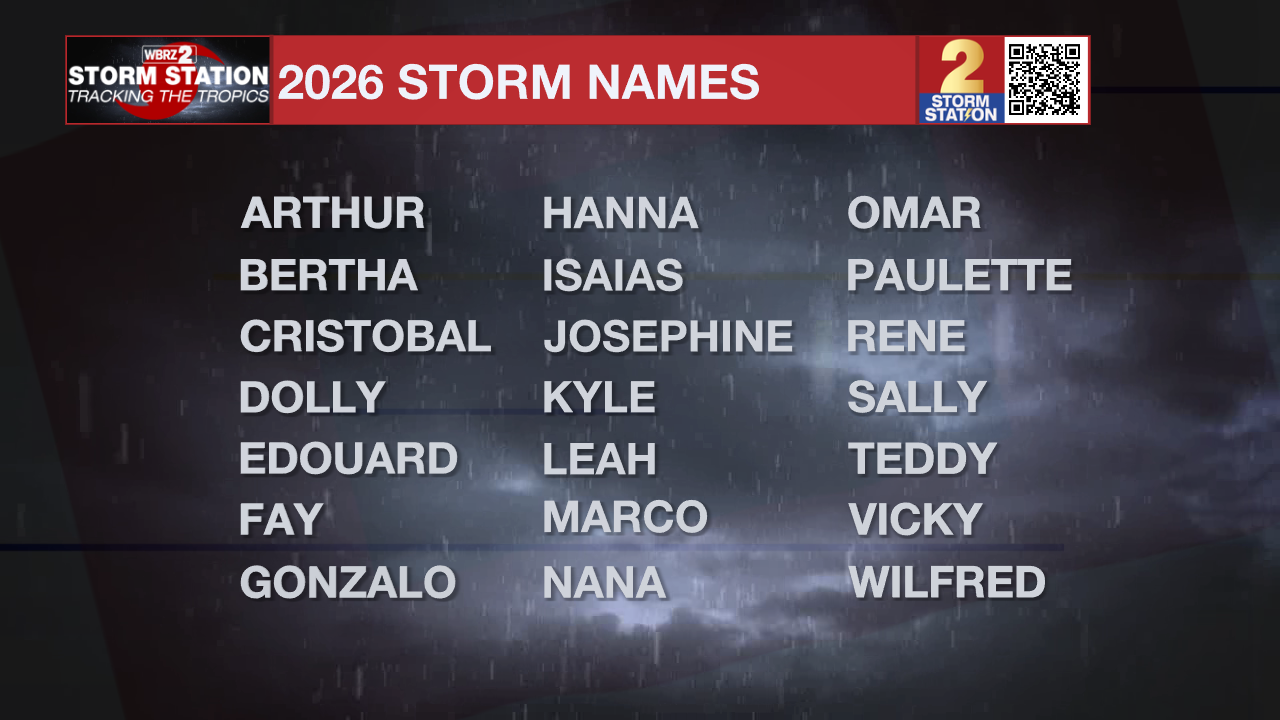
The Tropics: From now through November 30, the Storm Station will have constant updates at the Hurricane Center and on the twice-daily blogs. Pre-season forecasts have called for a near-normal to slightly below-average season; however, it only takes one storm to change everything. Now is the best time to prepare for the next storm. Fortunately for now, no tropical development is expected across the Atlantic Basin over the next seven days.
Get the latest 7-day forecast and real-time weather updates HERE.
Watch live news HERE.
— Meteorologist Malcolm Byron
The Storm Station is here for you, on every platform. Your weather updates can be found on News 2, wbrz.com, and the WBRZ WX App on your Apple or Android device. Follow WBRZ Weather on Facebook and X for even more weather updates while you are on the go.
More News
