

Latest Weather Blog
Sunday Evening Weather 5/21
Related Story
The work week is shaping up to be a dry one as showers remain at bay in the extended.
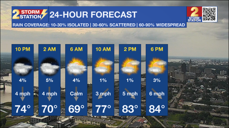
Tonight & Tomorrow: Overcast skies will be the rule as plentiful upper level moisture in the form of clouds will continue to funnel in from the west as yet another storm system is forming in that region. Low will drop to the upper 60s for the next several nights as conditions remain on the dry side with low level limited moisture from the Gulf of Mexico. A stalled frontal boundary is sitting just off coastal Louisiana and will be the focal point of any shower activity that might pop up. High temperatures will quickly rise to the middle to upper 80s each and every day for the week ahead.
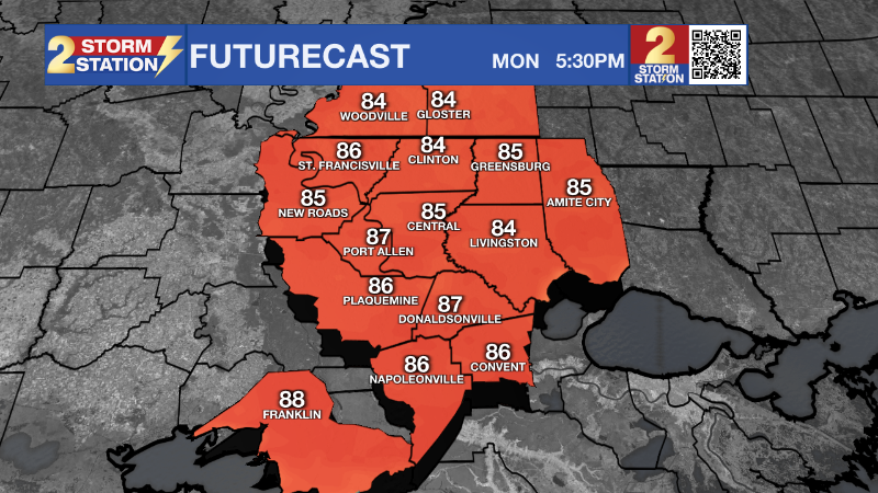
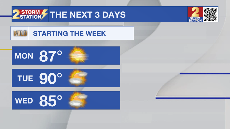
Up Next: Another cold front, known as a back-door cold front, will makes it way here on Wednesday, and coming from the opposite direction than a normal front moves; and from the east this time. The week will be quiet as there will not be much opportunity for the development of showers and thunderstorms throughout the extended period as a trigger for shower activity will not be present. Look for temperatures to still rise to the upper 80s for highs and overnight low will range in the upper 60s. The best chance for rain will be between Tuesday and Wednesday.
Get the latest 7-day forecast and real time weather updates HERE.
Watch live news HERE.
--Keller
The Storm Station is here for you, on every platform. Your weather updates can be found on News 2, wbrz.com, and the WBRZ WX App on your Apple or Android device. Follow WBRZ Weather on Facebook and Twitter for even more weather updates while you are on the go.
News
